-
 play_arrow
Y WORLD Radio Station Y WORLD RADIO
music_note

‘We must also correct the map carried in our mind’: Professor Ntuli
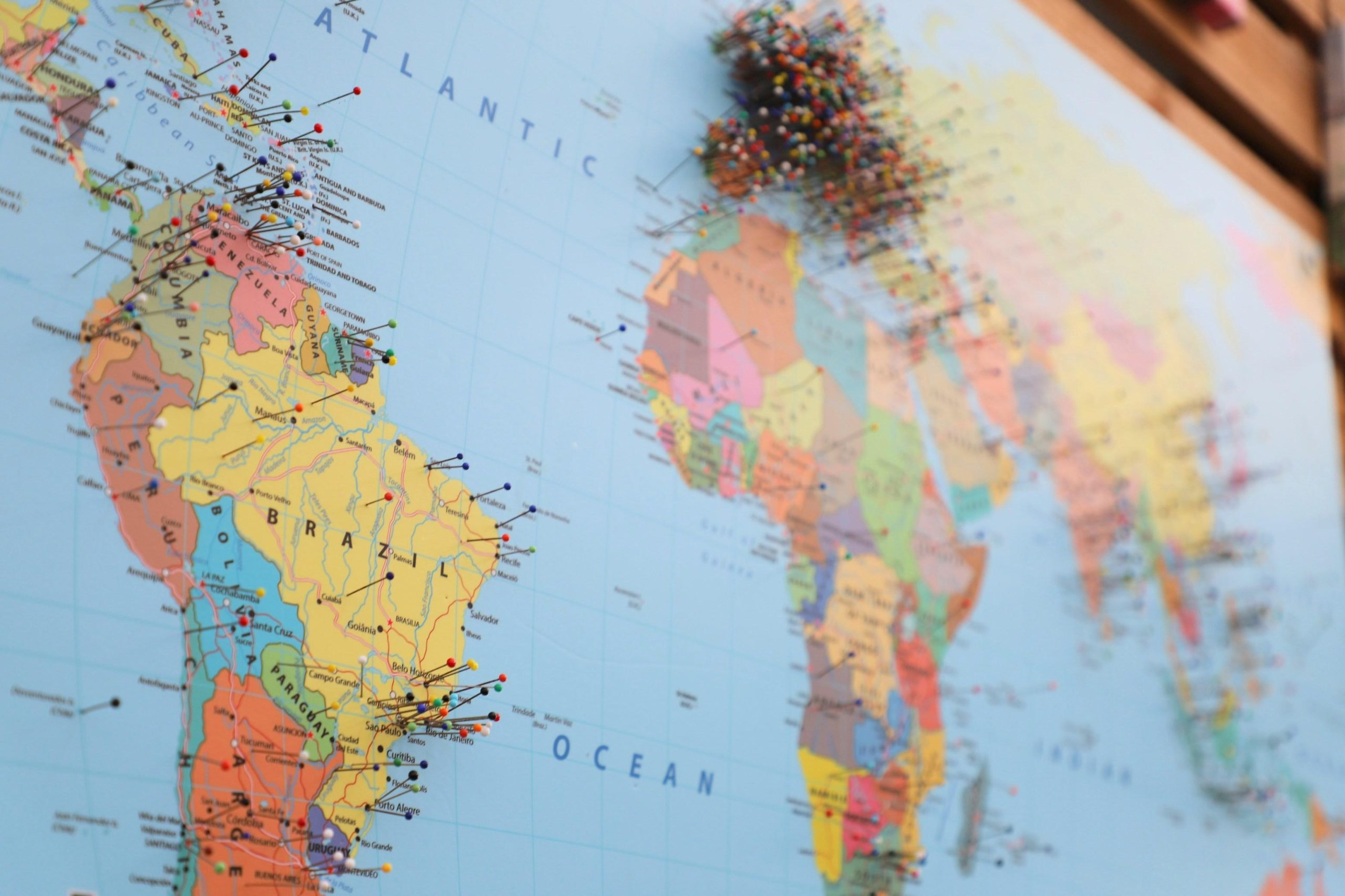
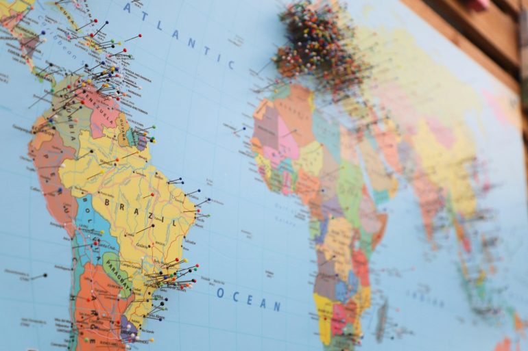
Renowned academic Professor, Pitika ka Ntuli, says what many see as a simple tool for navigating the world can also shape how an entire continent sees itself.
Reacting to the UN General Assembly’s Friday vote to move away from the widely used Mercator map projection to one that more accurately represents the size of continents and countries, Ntuli said maps have long shaped perceptions of Africa and its place in the world.
He said commonly used projections such as the Mercator projection made Africa appear smaller while giving Europe and North America greater visual prominence.
“The map is never merely geography. It is a curriculum of power: it teaches the eye where importance lives,” Ntuli said.
The endorsement of the Equal Earth Projection was passed with the support of 164 states, including the United Kingdom, while the United States was the only country to vote against it.
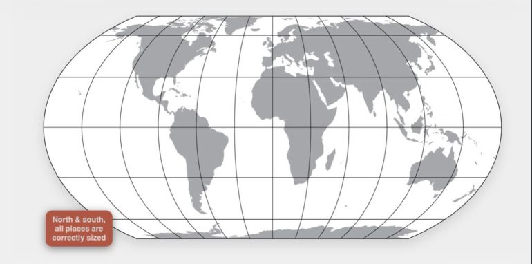
While the Mercator projection was designed primarily for navigation, Ntuli argues that its widespread use in education gave geographical distortion a deeper psychological impact.
He says generations of African children grew up seeing their continent represented as smaller and more peripheral than it actually is.
For Ntuli, correcting the map is therefore about more than geography. He describes it as an issue of “cognitive justice” and says it could help Africa be seen in its true proportion.
“Africa does not need exaggeration. It needs truthful recognition,” he said.
Ntuli acknowledged that changing a map alone will not redistribute wealth or undo the effects of colonialism, but argues that symbols can influence how societies imagine their future.
“When an African child sees the continent in its true scale, that child encounters a different proposition: Africa is not a small appendix to the world. It is an immense geographical, historical, intellectual and spiritual presence,” he added.
In his Ancestral–Afrofuturist philosophy, Ntuli described the moment as an “Event Horizon”, a shift from an image that diminished African presence to one capable of enlarging African possibility.
“The corrected map can influence education, cultural confidence, diplomacy and the way Africa’s resources, peoples and possibilities are discussed. It can help move Africa from the margins of other people’s maps to the centre of its own consciousness,” he emphasised.
On Friday, the United Nations General Assembly adopted an African proposal for a new world map, which shows countries’ true size relative to one another.
In favor: 164
Against: 1
Abstentions: 6 pic.twitter.com/5BE4LUiojH— UN News (@UN_News_Centre) September 4, 2026
The UN has adopted a new map that shows Africa’s real size.
Togo led the campaign. pic.twitter.com/b8jx62XiDA
— Africa Facts Zone (@AfricaFactsZone) September 5, 2026
Similar posts

Current show
Upcoming shows
Latest posts
LATEST NEWS

Gauteng urged to keep cool amid scorching heat

Pietersen wary of strong Cardiff outfit
Baby Nikita trial | Eldorado Park man accused of her killing blames drugs for his actions, seeks leniency
Revised White Paper on Local Government sparks division ahead of elections

YouthX by Nedbank Con Hill 21 November 26
SPOTLIGHT FEST